 vesseltracker.com
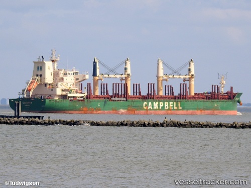
Vessel Cs Satira IMO: 9635456, MMSI: 311000153 Bulk Carrier
UTC, 10.62167, 96.04500, course: -1, speed: 11
UTC, 10.12000, 96.26833, course: -1, speed: 11
2026-02-01 05:30:50 UTC, 9.90833, 96.36666, course: -1, speed: 11
Live AIS position:
UTC. 131 nm W of Ranong Apt),
updated 2026-02-01 05:30:50 UTC.
Find the position of the vessel Cs Satira on the map. The latter are known coordinates and path.
marine traffic ship tracker show on live map
The current position of vessel Cs Satira is 9.90833 lat / 96.36666 lng. Updated: 2026-02-01 05:30:50 UTCCurrently sailing under the flag of Bahamas
Cs Satira built in 2013 year
Deadweight:
37650 tDetails:
Last coordinates of the vessel:
UTC, 10.94833, 95.89333, course: -1, speed: 11UTC, 10.62167, 96.04500, course: -1, speed: 11
UTC, 10.12000, 96.26833, course: -1, speed: 11
2026-02-01 05:30:50 UTC, 9.90833, 96.36666, course: -1, speed: 11