 vesseltracker.com
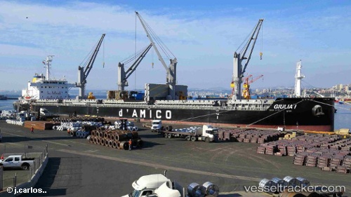
Vessel Giulia 1 IMO: 9638135, MMSI: 229760000 Bulk Carrier
UTC, 10.39571, -54.48981, course: 103, speed: 12.2
UTC, 10.28421, -54.13022, course: 103, speed: 12.5
2026-02-08 09:33:32 UTC, 10.12138, -53.82878, course: 118, speed: 12.5
Live AIS position:
UTC. 265 nm N of Nieuw Amsterdam),
updated 2026-02-08 09:33:32 UTC.
Find the position of the vessel Giulia 1 on the map. The latter are known coordinates and path.
marine traffic ship tracker show on live map
The current position of vessel Giulia 1 is 10.12138 lat / -53.82878 lng. Updated: 2026-02-08 09:33:32 UTCCurrently sailing under the flag of Malta
Details:
Last coordinates of the vessel:
UTC, 10.57662, -55.05030, course: 109, speed: 13.1UTC, 10.39571, -54.48981, course: 103, speed: 12.2
UTC, 10.28421, -54.13022, course: 103, speed: 12.5
2026-02-08 09:33:32 UTC, 10.12138, -53.82878, course: 118, speed: 12.5