 vesseltracker.com
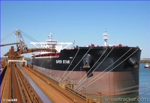
Vessel Marini IMO: 9639529, MMSI: 248173000 Bulk Carrier
UTC, 30.43222, 123.59222, course: 180, speed: 12.1
UTC, 30.10071, 123.58029, course: 178, speed: 11.3
2026-02-21 16:20:59 UTC, 29.57293, 123.61603, course: 188, speed: 11.6
Live AIS position:
UTC. 77 nm E of ZHOUSHAN),
updated 2026-02-21 16:20:59 UTC.
Find the position of the vessel Marini on the map. The latter are known coordinates and path.
marine traffic ship tracker show on live map
The current position of vessel Marini is 29.57293 lat / 123.61603 lng. Updated: 2026-02-21 16:20:59 UTCCurrently sailing under the flag of Malta
Details:
Last coordinates of the vessel:
UTC, 30.68774, 123.59029, course: 148, speed: 12.5UTC, 30.43222, 123.59222, course: 180, speed: 12.1
UTC, 30.10071, 123.58029, course: 178, speed: 11.3
2026-02-21 16:20:59 UTC, 29.57293, 123.61603, course: 188, speed: 11.6