 vesseltracker.com
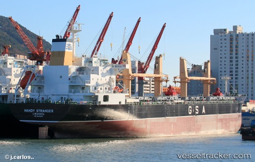
Vessel Handy Stranger IMO: 9643453, MMSI: 212366000 Bulk Carrier
UTC, 18.77183, -93.21218, course: 7, speed: 1.5
UTC, 18.77183, -93.21218, course: 7, speed: 1.5
2026-02-23 09:04:40 UTC, 18.76907, -93.21256, course: 15, speed: 0.5
Live AIS position:
UTC. 16 nm N of Dos Bocas Terminal),
updated 2026-02-23 09:04:40 UTC.
Find the position of the vessel Handy Stranger on the map. The latter are known coordinates and path.
marine traffic ship tracker show on live map
The current position of vessel Handy Stranger is 18.76907 lat / -93.21256 lng. Updated: 2026-02-23 09:04:40 UTCCurrently sailing under the flag of Cyprus
Handy Stranger built in 2014 year
Deadweight:
34753 tDetails:
Last coordinates of the vessel:
UTC, 18.77650, -93.21198, course: 25, speed: 0.2UTC, 18.77183, -93.21218, course: 7, speed: 1.5
UTC, 18.77183, -93.21218, course: 7, speed: 1.5
2026-02-23 09:04:40 UTC, 18.76907, -93.21256, course: 15, speed: 0.5