 vesseltracker.com
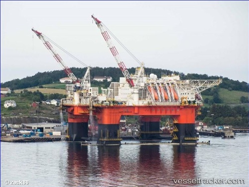
Vessel Safe Boreas IMO: 9649823, MMSI: 565905000 Service Ship
UTC, -13.10495, 124.89021, course: 103, speed: 4.3
UTC, -13.15297, 125.05374, course: 106, speed: 5.3
2026-02-27 23:58:14 UTC, -13.20569, 125.23269, course: 109, speed: 3.3
Live AIS position:
UTC. 62 nm NW of Troughton Island),
updated 2026-02-27 23:58:14 UTC.
Find the position of the vessel Safe Boreas on the map. The latter are known coordinates and path.
marine traffic ship tracker show on live map
The current position of vessel Safe Boreas is -13.20569 lat / 125.23269 lng. Updated: 2026-02-27 23:58:14 UTCCurrently sailing under the flag of Singapore
Details:
Last coordinates of the vessel:
UTC, -13.04617, 124.68848, course: 103, speed: 4.8UTC, -13.10495, 124.89021, course: 103, speed: 4.3
UTC, -13.15297, 125.05374, course: 106, speed: 5.3
2026-02-27 23:58:14 UTC, -13.20569, 125.23269, course: 109, speed: 3.3