 vesseltracker.com
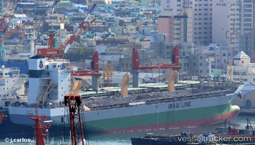
Vessel Basrah IMO: 9649964, MMSI: 438031043 Multi Purpose Carrier
UTC, 22.99692, 67.37353, course: 82, speed: 11.5
UTC, 23.00021, 67.48499, course: 284, speed: 11.1
2026-02-06 19:44:01 UTC, 23.00487, 67.42557, course: 251, speed: 0.6
Live AIS position:
UTC. 68 nm S of Keti Bandar),
updated 2026-02-06 19:44:01 UTC.
Find the position of the vessel Basrah on the map. The latter are known coordinates and path.
marine traffic ship tracker show on live map
The current position of vessel Basrah is 23.00487 lat / 67.42557 lng. Updated: 2026-02-06 19:44:01 UTCDetails:
Last coordinates of the vessel:
UTC, 22.92672, 66.81231, course: 85, speed: 10.5UTC, 22.99692, 67.37353, course: 82, speed: 11.5
UTC, 23.00021, 67.48499, course: 284, speed: 11.1
2026-02-06 19:44:01 UTC, 23.00487, 67.42557, course: 251, speed: 0.6