 vesseltracker.com
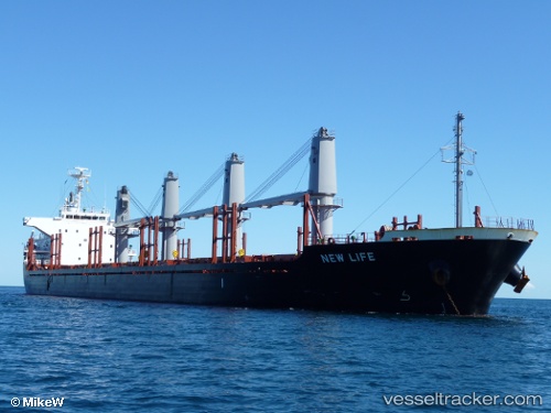
Vessel PAGODA IMO: 9650987, MMSI: 212167000 Bulk Carrier
UTC, 38.95018, 118.05486, course: 140, speed: 0
UTC, 38.95003, 118.05464, course: 131, speed: 0.1
2026-02-25 11:21:12 UTC, 38.95010, 118.05472, course: 133, speed: 0
Live AIS position:
UTC. Near Dagu Bar),
updated 2026-02-25 11:21:12 UTC.
Find the position of the vessel PAGODA on the map. The latter are known coordinates and path.
marine traffic ship tracker show on live map
The current position of vessel PAGODA is 38.95010 lat / 118.05472 lng. Updated: 2026-02-25 11:21:12 UTCCurrently sailing under the flag of Cyprus
Details:
Last coordinates of the vessel:
UTC, 38.95025, 118.05497, course: 141, speed: 0.1UTC, 38.95018, 118.05486, course: 140, speed: 0
UTC, 38.95003, 118.05464, course: 131, speed: 0.1
2026-02-25 11:21:12 UTC, 38.95010, 118.05472, course: 133, speed: 0