 vesseltracker.com
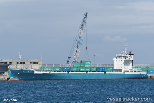
Vessel Naha2 IMO: 9658848, MMSI: 431004022 Container Ship
UTC, 28.05706, 128.06468, course: 15, speed: 16
UTC, 28.51667, 128.17000, course: -1, speed: 16
2026-02-10 01:18:34 UTC, 29.05667, 128.30499, course: -1, speed: 17
Live AIS position:
UTC. 76 nm NW of Koniya),
updated 2026-02-10 01:18:34 UTC.
Find the position of the vessel Naha2 on the map. The latter are known coordinates and path.
marine traffic ship tracker show on live map
The current position of vessel Naha2 is 29.05667 lat / 128.30499 lng. Updated: 2026-02-10 01:18:34 UTCCurrently sailing under the flag of Japan
Details:
Last coordinates of the vessel:
UTC, 27.73645, 127.98000, course: 9, speed: 16.3UTC, 28.05706, 128.06468, course: 15, speed: 16
UTC, 28.51667, 128.17000, course: -1, speed: 16
2026-02-10 01:18:34 UTC, 29.05667, 128.30499, course: -1, speed: 17