 vesseltracker.com
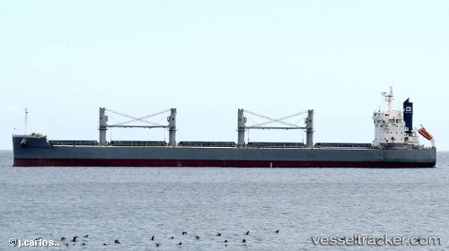
Vessel 'MIYAMA D00' IMO: 9660621, MMSI: 538009090
UTC, 8.61786, -15.61621, course: 300, speed: 10.8
UTC, 8.79301, -15.91202, course: 299, speed: 10.8
2026-02-01 11:33:45 UTC, 8.94701, -16.15716, course: 304, speed: 10.8
Live AIS position:
UTC. 127 nm SW of Port de Boké),
updated 2026-02-01 11:33:45 UTC.
Find the position of the vessel 'MIYAMA D00' on the map. The latter are known coordinates and path.
marine traffic ship tracker show on live map
The current position of vessel 'MIYAMA D00' is 8.94701 lat / -16.15716 lng. Updated: 2026-02-01 11:33:45 UTCDetails:
Last coordinates of the vessel:
UTC, 8.36974, -15.20240, course: 299, speed: 10.8UTC, 8.61786, -15.61621, course: 300, speed: 10.8
UTC, 8.79301, -15.91202, course: 299, speed: 10.8
2026-02-01 11:33:45 UTC, 8.94701, -16.15716, course: 304, speed: 10.8