 vesseltracker.com
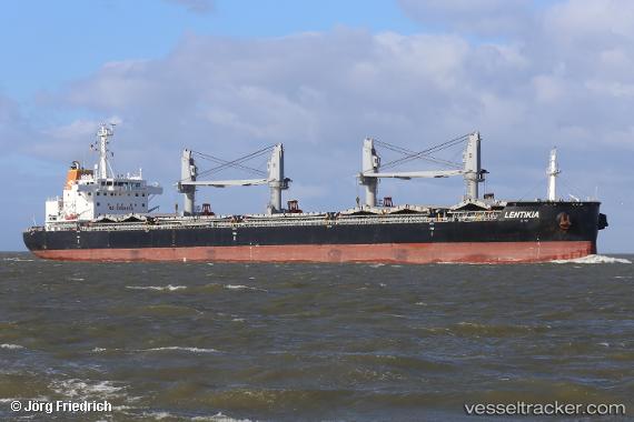
Vessel '538090581' IMO: 9663738, MMSI: 538090581
UTC, 13.30381, -76.97212, course: 324, speed: 15.7
UTC, 13.82624, -77.47581, course: 318, speed: 15.4
2026-02-20 13:54:00 UTC, 14.09296, -77.73730, course: 319, speed: 15.4
Live AIS position:
UTC. 126 nm N of Lince),
updated 2026-02-20 13:54:00 UTC.
Find the position of the vessel '538090581' on the map. The latter are known coordinates and path.
marine traffic ship tracker show on live map
The current position of vessel '538090581' is 14.09296 lat / -77.73730 lng. Updated: 2026-02-20 13:54:00 UTCDetails:
Last coordinates of the vessel:
UTC, 12.96269, -76.64593, course: 323, speed: 14.9UTC, 13.30381, -76.97212, course: 324, speed: 15.7
UTC, 13.82624, -77.47581, course: 318, speed: 15.4
2026-02-20 13:54:00 UTC, 14.09296, -77.73730, course: 319, speed: 15.4