 vesseltracker.com
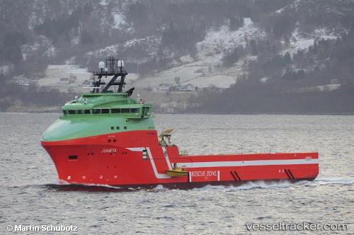
Vessel Juanita IMO: 9665011, MMSI: 258906000 Offshore Tug Supply Ship
UTC, 61.44299, 4.41057, course: 14, speed: 10.6
UTC, 61.68333, 4.56500, course: -1, speed: 9
2026-02-17 01:51:58 UTC, 61.62606, 5.02581, course: 108, speed: 9
Live AIS position:
UTC. Near Botnaneset - Flora),
updated 2026-02-17 01:51:58 UTC.
Find the position of the vessel Juanita on the map. The latter are known coordinates and path.
marine traffic ship tracker show on live map
The current position of vessel Juanita is 61.62606 lat / 5.02581 lng. Updated: 2026-02-17 01:51:58 UTCCurrently sailing under the flag of Norway
Details:
Last coordinates of the vessel:
UTC, 60.96905, 4.31692, course: 345, speed: 10.2UTC, 61.44299, 4.41057, course: 14, speed: 10.6
UTC, 61.68333, 4.56500, course: -1, speed: 9
2026-02-17 01:51:58 UTC, 61.62606, 5.02581, course: 108, speed: 9