 vesseltracker.com
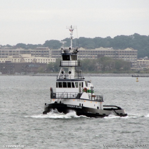
Vessel Tangier Island IMO: 9665504, MMSI: 367594190 Pusher Tug
UTC, 27.78695, -82.54692, course: 282, speed: 7.1
UTC, 27.86100, -82.55161, course: 82, speed: 0
2026-01-30 04:23:03 UTC, 27.86102, -82.55163, course: 83, speed: 0
Live AIS position:
UTC. Near MacDill AFB),
updated 2026-01-30 04:23:03 UTC.
Find the position of the vessel Tangier Island on the map. The latter are known coordinates and path.
marine traffic ship tracker show on live map
The current position of vessel Tangier Island is 27.86102 lat / -82.55163 lng. Updated: 2026-01-30 04:23:03 UTCCurrently sailing under the flag of USA
Tangier Island built in 2013 year
Deadweight:
212 tDetails:
Last coordinates of the vessel:
UTC, 27.92165, -82.42849, course: 180, speed: 0UTC, 27.78695, -82.54692, course: 282, speed: 7.1
UTC, 27.86100, -82.55161, course: 82, speed: 0
2026-01-30 04:23:03 UTC, 27.86102, -82.55163, course: 83, speed: 0