 vesseltracker.com
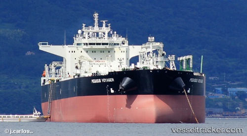
Vessel Polaris Voyager IMO: 9665748, MMSI: 311000112 Crude Oil Tanker
UTC, 33.17239, -117.99054, course: 150, speed: 0.6
UTC, 33.11597, -117.92487, course: 151, speed: 5.8
2026-02-27 01:13:23 UTC, 33.01333, -117.85833, course: -1, speed: 3
Live AIS position:
UTC. 26 nm SW of Camp Pendleton),
updated 2026-02-27 01:13:23 UTC.
Find the position of the vessel Polaris Voyager on the map. The latter are known coordinates and path.
marine traffic ship tracker show on live map
The current position of vessel Polaris Voyager is 33.01333 lat / -117.85833 lng. Updated: 2026-02-27 01:13:23 UTCCurrently sailing under the flag of Bahamas
Details:
Last coordinates of the vessel:
UTC, 33.16455, -118.51005, course: 115, speed: 12UTC, 33.17239, -117.99054, course: 150, speed: 0.6
UTC, 33.11597, -117.92487, course: 151, speed: 5.8
2026-02-27 01:13:23 UTC, 33.01333, -117.85833, course: -1, speed: 3