 vesseltracker.com
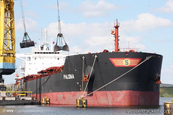
Vessel PALONA IMO: 9667112, MMSI: 538009451 Bulk Carrier
UTC, 37.02747, 3.29950, course: 257, speed: 13.6
UTC, 36.95562, 2.67701, course: 264, speed: 11.9
2026-02-23 11:36:04 UTC, 36.90348, 2.19503, course: 261, speed: 12.5
Live AIS position:
UTC. 18 nm N of Cherchell),
updated 2026-02-23 11:36:04 UTC.
Find the position of the vessel PALONA on the map. The latter are known coordinates and path.
marine traffic ship tracker show on live map
The current position of vessel PALONA is 36.90348 lat / 2.19503 lng. Updated: 2026-02-23 11:36:04 UTCCurrently sailing under the flag of Marshall Islands
PALONA built in 2014 year
Deadweight:
81676 tDetails:
Last coordinates of the vessel:
UTC, 37.06475, 3.69949, course: 266, speed: 11.9UTC, 37.02747, 3.29950, course: 257, speed: 13.6
UTC, 36.95562, 2.67701, course: 264, speed: 11.9
2026-02-23 11:36:04 UTC, 36.90348, 2.19503, course: 261, speed: 12.5