 vesseltracker.com
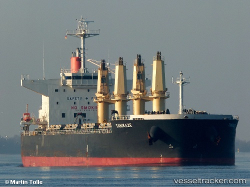
Vessel Tanikaze IMO: 9667899, MMSI: 373100000 Bulk Carrier
UTC, 13.43689, 117.85922, course: 295, speed: 11
UTC, 13.43689, 117.85922, course: 295, speed: 11
2026-01-29 23:06:42 UTC, 13.43689, 117.85922, course: 295, speed: 11
Live AIS position:
UTC. 135 nm NW of Malampaya),
updated 2026-01-29 23:06:42 UTC.
Find the position of the vessel Tanikaze on the map. The latter are known coordinates and path.
marine traffic ship tracker show on live map
The current position of vessel Tanikaze is 13.43689 lat / 117.85922 lng. Updated: 2026-01-29 23:06:42 UTCCurrently sailing under the flag of Panama
Tanikaze built in 2013 year
Deadweight:
56064 tDetails:
Last coordinates of the vessel:
UTC, 13.31454, 118.14524, course: 292, speed: 10.6UTC, 13.43689, 117.85922, course: 295, speed: 11
UTC, 13.43689, 117.85922, course: 295, speed: 11
2026-01-29 23:06:42 UTC, 13.43689, 117.85922, course: 295, speed: 11