 vesseltracker.com
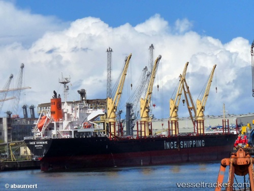
Vessel MARIGOLD IMO: 9668295, MMSI: 314977000 Bulk Carrier
UTC, 23.42500, 152.31332, course: -1, speed: 10
UTC, 23.50667, 152.05667, course: -1, speed: 9
2026-03-06 21:58:39 UTC, 23.59673, 151.75320, course: 290, speed: 9.3
Live Vessel MARIGOLD Analytics (details, animations, etc.)
Live AIS position: UTC. Open sea (no nearby ports in database)), updated 2026-03-06 21:58:39 UTC.Find the position of the vessel MARIGOLD on the map. The latter are known coordinates and path.
marine traffic ship tracker show on live map
The current position of vessel MARIGOLD is 23.59673 lat / 151.75320 lng. Updated: 2026-03-06 21:58:39 UTCCurrently sailing under the flag of Barbados
Details:
Last coordinates of the vessel:
UTC, 23.27563, 152.82141, course: 292, speed: 9.6UTC, 23.42500, 152.31332, course: -1, speed: 10
UTC, 23.50667, 152.05667, course: -1, speed: 9
2026-03-06 21:58:39 UTC, 23.59673, 151.75320, course: 290, speed: 9.3