 vesseltracker.com
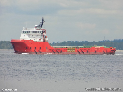
Vessel Executive Tide IMO: 9672894, MMSI: 533130222 Offshore Tug Supply Ship
UTC, 13.89333, 92.94167, course: -1, speed: 10
UTC, 14.03167, 92.71333, course: -1, speed: 10
2026-02-08 03:18:31 UTC, 14.10500, 92.46833, course: -1, speed: 10
Live AIS position:
UTC. 147 nm N of Port Blair),
updated 2026-02-08 03:18:31 UTC.
Find the position of the vessel Executive Tide on the map. The latter are known coordinates and path.
marine traffic ship tracker show on live map
The current position of vessel Executive Tide is 14.10500 lat / 92.46833 lng. Updated: 2026-02-08 03:18:31 UTCCurrently sailing under the flag of Malaysia
Details:
Last coordinates of the vessel:
UTC, 13.73667, 93.22667, course: -1, speed: 10UTC, 13.89333, 92.94167, course: -1, speed: 10
UTC, 14.03167, 92.71333, course: -1, speed: 10
2026-02-08 03:18:31 UTC, 14.10500, 92.46833, course: -1, speed: 10