 vesseltracker.com
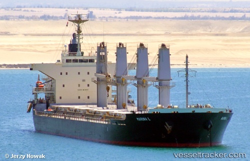
Vessel Marina L IMO: 9675705, MMSI: 636016827 Bulk Carrier
UTC, 40.44186, 2.16153, course: 218, speed: 12.2
UTC, 40.18746, 1.87496, course: 215, speed: 12.6
2026-03-04 13:13:09 UTC, 39.89561, 1.61206, course: 212, speed: 12.6
Live Vessel Marina L Analytics (details, animations, etc.)
Live AIS position: UTC. 42 nm NW of Andraitx), updated 2026-03-04 13:13:09 UTC.Find the position of the vessel Marina L on the map. The latter are known coordinates and path.
marine traffic ship tracker show on live map
The current position of vessel Marina L is 39.89561 lat / 1.61206 lng. Updated: 2026-03-04 13:13:09 UTCDetails:
Last coordinates of the vessel:
UTC, 40.78050, 2.55797, course: 226, speed: 12.7UTC, 40.44186, 2.16153, course: 218, speed: 12.2
UTC, 40.18746, 1.87496, course: 215, speed: 12.6
2026-03-04 13:13:09 UTC, 39.89561, 1.61206, course: 212, speed: 12.6