 vesseltracker.com
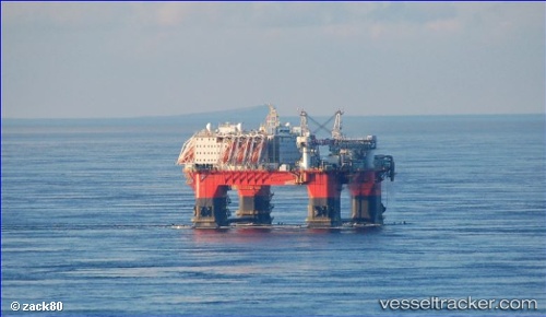
Vessel Safe Zephyrus IMO: 9679517, MMSI: 565911000 Service Ship
UTC, -24.68892, -42.50698, course: 99, speed: 0.1
UTC, -24.68890, -42.50700, course: 100, speed: 0
2026-02-26 07:30:14 UTC, -24.68890, -42.50697, course: 99, speed: 0
Live AIS position:
UTC. 54 nm N of Cidade de Angra dos Reis FPSO),
updated 2026-02-26 07:30:14 UTC.
Find the position of the vessel Safe Zephyrus on the map. The latter are known coordinates and path.
marine traffic ship tracker show on live map
The current position of vessel Safe Zephyrus is -24.68890 lat / -42.50697 lng. Updated: 2026-02-26 07:30:14 UTCCurrently sailing under the flag of Singapore
Details:
Last coordinates of the vessel:
UTC, -24.68878, -42.50710, course: 99, speed: 0UTC, -24.68892, -42.50698, course: 99, speed: 0.1
UTC, -24.68890, -42.50700, course: 100, speed: 0
2026-02-26 07:30:14 UTC, -24.68890, -42.50697, course: 99, speed: 0