 vesseltracker.com
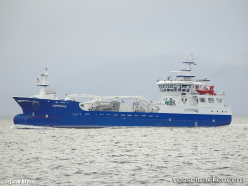
Vessel Grip Pacific IMO: 9680918, MMSI: 725001543 Fish Carrier
UTC, -52.66167, -72.17667, course: -1, speed: 0
UTC, -52.66167, -72.17667, course: -1, speed: 0
2026-02-01 14:08:19 UTC, -52.66167, -72.17667, course: -1, speed: 0
Live AIS position:
UTC. 26 nm W of Río Verde),
updated 2026-02-01 14:08:19 UTC.
Find the position of the vessel Grip Pacific on the map. The latter are known coordinates and path.
marine traffic ship tracker show on live map
The current position of vessel Grip Pacific is -52.66167 lat / -72.17667 lng. Updated: 2026-02-01 14:08:19 UTCDetails:
Last coordinates of the vessel:
UTC, -52.66167, -72.17667, course: -1, speed: 0UTC, -52.66167, -72.17667, course: -1, speed: 0
UTC, -52.66167, -72.17667, course: -1, speed: 0
2026-02-01 14:08:19 UTC, -52.66167, -72.17667, course: -1, speed: 0