 vesseltracker.com
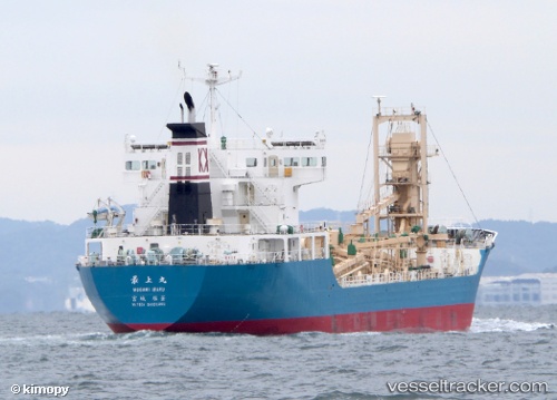
Vessel Mogami Maru IMO: 9681716, MMSI: 431004824 Cement Carrier
UTC, 37.94933, 139.07460, course: 352, speed: 0
UTC, 37.94936, 139.07463, course: 352, speed: 0
2026-02-18 08:12:18 UTC, 37.94931, 139.07462, course: 352, speed: 0
Live AIS position:
UTC. Near Niigata),
updated 2026-02-18 08:12:18 UTC.
Find the position of the vessel Mogami Maru on the map. The latter are known coordinates and path.
marine traffic ship tracker show on live map
The current position of vessel Mogami Maru is 37.94931 lat / 139.07462 lng. Updated: 2026-02-18 08:12:18 UTCCurrently sailing under the flag of Japan
Details:
Last coordinates of the vessel:
UTC, 37.94931, 139.07462, course: 351, speed: 0UTC, 37.94933, 139.07460, course: 352, speed: 0
UTC, 37.94936, 139.07463, course: 352, speed: 0
2026-02-18 08:12:18 UTC, 37.94931, 139.07462, course: 352, speed: 0