 vesseltracker.com
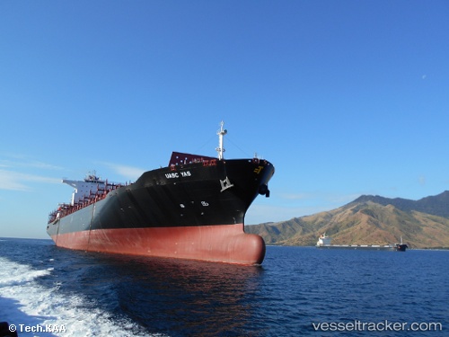
Vessel Olivia I IMO: 9686912, MMSI: 538005959 Container Ship
UTC, 32.88333, 27.94500, course: -1, speed: 17
UTC, 32.67384, 28.74546, course: 107, speed: 17.9
2026-02-19 13:28:33 UTC, 32.47500, 29.44333, course: -1, speed: 18
Live AIS position:
UTC. 77 nm NW of ABU QIR),
updated 2026-02-19 13:28:33 UTC.
Find the position of the vessel Olivia I on the map. The latter are known coordinates and path.
marine traffic ship tracker show on live map
The current position of vessel Olivia I is 32.47500 lat / 29.44333 lng. Updated: 2026-02-19 13:28:33 UTCDetails:
Last coordinates of the vessel:
UTC, 32.97451, 27.64596, course: 109, speed: 14.5UTC, 32.88333, 27.94500, course: -1, speed: 17
UTC, 32.67384, 28.74546, course: 107, speed: 17.9
2026-02-19 13:28:33 UTC, 32.47500, 29.44333, course: -1, speed: 18