 vesseltracker.com
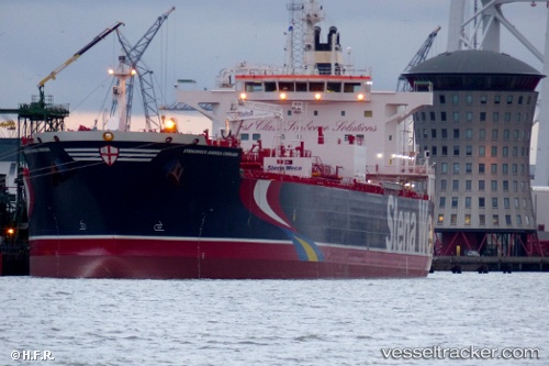
Vessel HAFNIA ANDREA IMO: 9688415, MMSI: 563096600
UTC, 48.94427, -123.15027, course: 312, speed: 14.5
UTC, 49.30473, -123.26546, course: 70, speed: 3.9
2026-02-18 14:31:51 UTC, 49.30301, -123.08168, course: 132, speed: 0.1
Live AIS position:
UTC. Near Vancouver),
updated 2026-02-18 14:31:51 UTC.
Find the position of the vessel HAFNIA ANDREA on the map. The latter are known coordinates and path.
marine traffic ship tracker show on live map
The current position of vessel HAFNIA ANDREA is 49.30301 lat / -123.08168 lng. Updated: 2026-02-18 14:31:51 UTCDetails:
Last coordinates of the vessel:
UTC, 48.71922, -123.16439, course: 62, speed: 13.3UTC, 48.94427, -123.15027, course: 312, speed: 14.5
UTC, 49.30473, -123.26546, course: 70, speed: 3.9
2026-02-18 14:31:51 UTC, 49.30301, -123.08168, course: 132, speed: 0.1