 vesseltracker.com
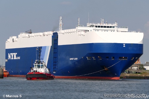
Vessel Harvest Leader IMO: 9690523, MMSI: 311000187 Vehicles Carrier
UTC, 49.76167, -136.58501, course: -1, speed: 14
UTC, 49.57377, -135.92209, course: 117, speed: 14.2
2026-02-11 19:56:20 UTC, 49.37833, -135.25333, course: -1, speed: 14
Live AIS position:
UTC. 228 nm SW of Harriet Harbour),
updated 2026-02-11 19:56:20 UTC.
Find the position of the vessel Harvest Leader on the map. The latter are known coordinates and path.
marine traffic ship tracker show on live map
The current position of vessel Harvest Leader is 49.37833 lat / -135.25333 lng. Updated: 2026-02-11 19:56:20 UTCDetails:
Last coordinates of the vessel:
UTC, 49.95667, -137.20979, course: 119, speed: 13.9UTC, 49.76167, -136.58501, course: -1, speed: 14
UTC, 49.57377, -135.92209, course: 117, speed: 14.2
2026-02-11 19:56:20 UTC, 49.37833, -135.25333, course: -1, speed: 14