 vesseltracker.com
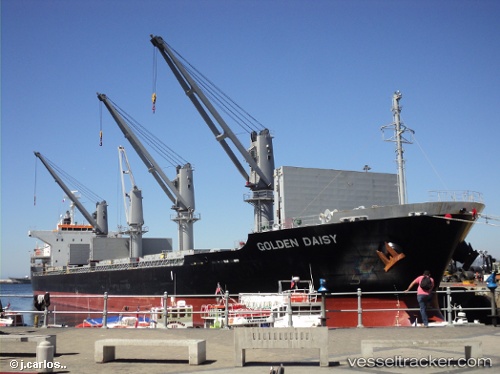
Vessel Nord Stark IMO: 9691591, MMSI: 314582000 Bulk Carrier
UTC, 28.07226, -15.38766, course: 7, speed: 0.1
UTC, 28.07230, -15.38726, course: 355, speed: 0.1
2026-02-10 03:55:15 UTC, 28.07233, -15.38773, course: 7, speed: 0
Live AIS position:
UTC. Near Las Palmas de Gran Canaria),
updated 2026-02-10 03:55:15 UTC.
Find the position of the vessel Nord Stark on the map. The latter are known coordinates and path.
marine traffic ship tracker show on live map
The current position of vessel Nord Stark is 28.07233 lat / -15.38773 lng. Updated: 2026-02-10 03:55:15 UTCCurrently sailing under the flag of Barbados
Nord Stark built in 2014 year
Deadweight:
28368 tDetails:
Last coordinates of the vessel:
UTC, 28.07225, -15.38730, course: 356, speed: 0.1UTC, 28.07226, -15.38766, course: 7, speed: 0.1
UTC, 28.07230, -15.38726, course: 355, speed: 0.1
2026-02-10 03:55:15 UTC, 28.07233, -15.38773, course: 7, speed: 0