 vesseltracker.com
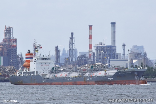
Vessel Buena Diosa IMO: 9693305, MMSI: 353465000 Lpg Tanker
UTC, 34.15667, 127.49667, course: -1, speed: 12
UTC, 34.34333, 127.89333, course: -1, speed: 12
2026-01-25 16:15:03 UTC, 34.64529, 127.94284, course: 348, speed: 12.4
Live AIS position:
UTC. 10 nm SE of Boseong-gun),
updated 2026-01-25 16:15:03 UTC.
Find the position of the vessel Buena Diosa on the map. The latter are known coordinates and path.
marine traffic ship tracker show on live map
The current position of vessel Buena Diosa is 34.64529 lat / 127.94284 lng. Updated: 2026-01-25 16:15:03 UTCCurrently sailing under the flag of Panama
Details:
Last coordinates of the vessel:
UTC, 34.05167, 126.71833, course: -1, speed: 14UTC, 34.15667, 127.49667, course: -1, speed: 12
UTC, 34.34333, 127.89333, course: -1, speed: 12
2026-01-25 16:15:03 UTC, 34.64529, 127.94284, course: 348, speed: 12.4