 vesseltracker.com
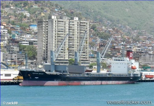
Vessel Century Bright IMO: 9694866, MMSI: 371210000 Bulk Carrier
UTC, 26.61318, -94.43201, course: 179, speed: 10.5
UTC, 26.11054, -94.43448, course: 189, speed: 11
2026-02-08 17:32:41 UTC, 25.91777, -94.45770, course: 198, speed: 10.5
Live AIS position:
UTC. 146 nm E of South Padre Island),
updated 2026-02-08 17:32:41 UTC.
Find the position of the vessel Century Bright on the map. The latter are known coordinates and path.
marine traffic ship tracker show on live map
The current position of vessel Century Bright is 25.91777 lat / -94.45770 lng. Updated: 2026-02-08 17:32:41 UTCDetails:
Last coordinates of the vessel:
UTC, 26.98071, -94.42828, course: 178, speed: 10.9UTC, 26.61318, -94.43201, course: 179, speed: 10.5
UTC, 26.11054, -94.43448, course: 189, speed: 11
2026-02-08 17:32:41 UTC, 25.91777, -94.45770, course: 198, speed: 10.5