 vesseltracker.com
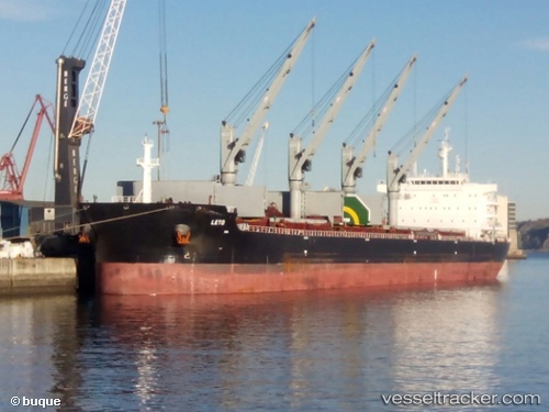
Vessel LETO IMO: 9696424, MMSI: 311001770 Cargo
UTC, -33.84956, 25.75194, course: 110, speed: 0.5
UTC, -33.84887, 25.75137, course: 117, speed: 0.2
2026-03-04 13:39:06 UTC, -33.84898, 25.75124, course: 115, speed: 0.3
Live Vessel LETO Analytics (details, animations, etc.)
Live AIS position: UTC. Near COEGA), updated 2026-03-04 13:39:06 UTC.Find the position of the vessel LETO on the map. The latter are known coordinates and path.
marine traffic ship tracker show on live map
The current position of vessel LETO is -33.84898 lat / 25.75124 lng. Updated: 2026-03-04 13:39:06 UTCCurrently sailing under the flag of Bahamas
Details:
Last coordinates of the vessel:
UTC, -33.90346, 26.16794, course: 276, speed: 11.8UTC, -33.84956, 25.75194, course: 110, speed: 0.5
UTC, -33.84887, 25.75137, course: 117, speed: 0.2
2026-03-04 13:39:06 UTC, -33.84898, 25.75124, course: 115, speed: 0.3