 vesseltracker.com
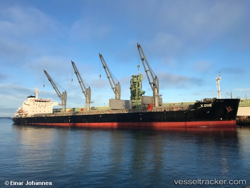
Vessel V Due IMO: 9698202, MMSI: 256919000 Bulk Carrier
UTC, -24.38833, 13.26333, course: -1, speed: 13
UTC, -24.12810, 13.17530, course: 336, speed: 12.6
2026-02-24 20:16:09 UTC, -23.54401, 12.96377, course: 338, speed: 13.2
Live AIS position:
UTC. 92 nm SW of Walvisbaai),
updated 2026-02-24 20:16:09 UTC.
Find the position of the vessel V Due on the map. The latter are known coordinates and path.
marine traffic ship tracker show on live map
The current position of vessel V Due is -23.54401 lat / 12.96377 lng. Updated: 2026-02-24 20:16:09 UTCDetails:
Last coordinates of the vessel:
UTC, -24.82167, 13.41833, course: -1, speed: 12UTC, -24.38833, 13.26333, course: -1, speed: 13
UTC, -24.12810, 13.17530, course: 336, speed: 12.6
2026-02-24 20:16:09 UTC, -23.54401, 12.96377, course: 338, speed: 13.2