 vesseltracker.com
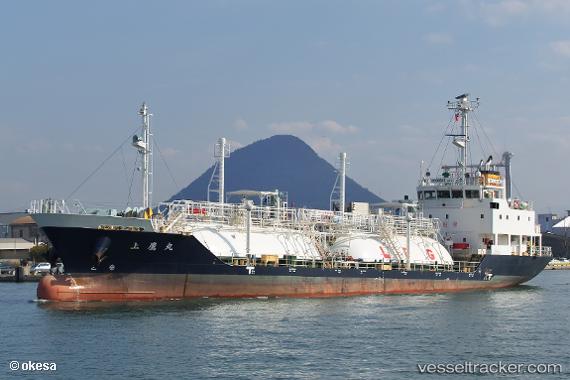
Vessel Kamitaka Maru IMO: 9699402, MMSI: 431005439 Lpg Tanker
UTC, 33.97527, 133.27058, course: 123, speed: 0
UTC, 33.97525, 133.27054, course: 123, speed: 0
2026-01-19 01:24:19 UTC, 33.97529, 133.27057, course: 123, speed: 0
Live AIS position:
UTC. Near NYUGAWA),
updated 2026-01-19 01:24:19 UTC.
Find the position of the vessel Kamitaka Maru on the map. The latter are known coordinates and path.
marine traffic ship tracker show on live map
The current position of vessel Kamitaka Maru is 33.97529 lat / 133.27057 lng. Updated: 2026-01-19 01:24:19 UTCCurrently sailing under the flag of Japan
Details:
Last coordinates of the vessel:
UTC, 33.97537, 133.27074, course: 123, speed: 0.3UTC, 33.97527, 133.27058, course: 123, speed: 0
UTC, 33.97525, 133.27054, course: 123, speed: 0
2026-01-19 01:24:19 UTC, 33.97529, 133.27057, course: 123, speed: 0