 vesseltracker.com
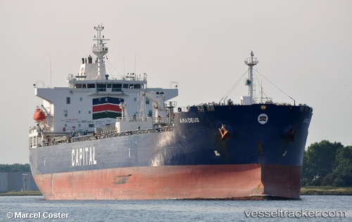
Vessel SEAWAYS KOLBERG IMO: 9700469, MMSI: 538009592 Chemical/Oil Products Tanker
UTC, 23.51482, -87.82622, course: 132, speed: 12.4
UTC, 23.19027, -87.43915, course: 132, speed: 12.3
2026-02-14 14:11:29 UTC, 23.19027, -87.43915, course: 132, speed: 12.3
Live AIS position:
UTC. 123 nm N of ISLA MUJERES),
updated 2026-02-14 14:11:29 UTC.
Find the position of the vessel SEAWAYS KOLBERG on the map. The latter are known coordinates and path.
marine traffic ship tracker show on live map
The current position of vessel SEAWAYS KOLBERG is 23.19027 lat / -87.43915 lng. Updated: 2026-02-14 14:11:29 UTCCurrently sailing under the flag of Marshall Islands
SEAWAYS KOLBERG built in 2015 year
Deadweight:
49999 tDetails:
Last coordinates of the vessel:
UTC, 23.80588, -88.16979, course: 135, speed: 12.7UTC, 23.51482, -87.82622, course: 132, speed: 12.4
UTC, 23.19027, -87.43915, course: 132, speed: 12.3
2026-02-14 14:11:29 UTC, 23.19027, -87.43915, course: 132, speed: 12.3