 vesseltracker.com
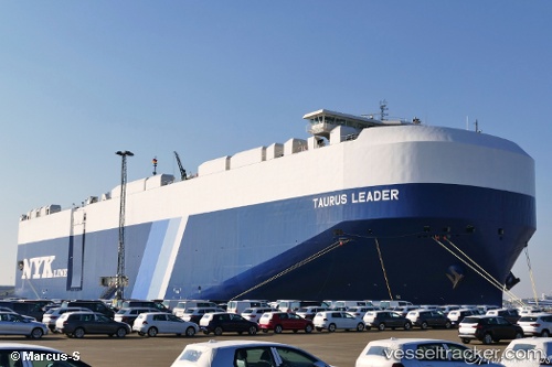
Vessel Taurus Leader IMO: 9700550, MMSI: 566095000 Vehicles Carrier
UTC, 1.45934, 104.47302, course: 229, speed: 14.4
UTC, 1.29960, 104.26617, course: 270, speed: 7.1
2026-02-08 17:58:07 UTC, 1.26678, 104.03706, course: 263, speed: 5.5
Live AIS position:
UTC. Near TANAH MERAH),
updated 2026-02-08 17:58:07 UTC.
Find the position of the vessel Taurus Leader on the map. The latter are known coordinates and path.
marine traffic ship tracker show on live map
The current position of vessel Taurus Leader is 1.26678 lat / 104.03706 lng. Updated: 2026-02-08 17:58:07 UTCDetails:
Last coordinates of the vessel:
UTC, 1.89903, 104.84087, course: 212, speed: 15.4UTC, 1.45934, 104.47302, course: 229, speed: 14.4
UTC, 1.29960, 104.26617, course: 270, speed: 7.1
2026-02-08 17:58:07 UTC, 1.26678, 104.03706, course: 263, speed: 5.5