 vesseltracker.com
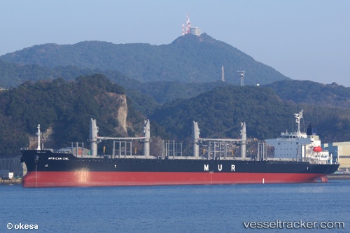
Vessel African Owl IMO: 9701255, MMSI: 311000442 Bulk Carrier
UTC, 9.14329, -163.17130, course: 233, speed: 11.6
UTC, 8.89419, -163.51363, course: 234, speed: 11.1
2026-02-13 09:24:11 UTC, 8.74363, -163.72301, course: 233, speed: 11.5
Live AIS position:
UTC. 392 nm NW of Fanning Island),
updated 2026-02-13 09:24:11 UTC.
Find the position of the vessel African Owl on the map. The latter are known coordinates and path.
marine traffic ship tracker show on live map
The current position of vessel African Owl is 8.74363 lat / -163.72301 lng. Updated: 2026-02-13 09:24:11 UTCDetails:
Last coordinates of the vessel:
UTC, 9.38880, -162.83067, course: 228, speed: 11.8UTC, 9.14329, -163.17130, course: 233, speed: 11.6
UTC, 8.89419, -163.51363, course: 234, speed: 11.1
2026-02-13 09:24:11 UTC, 8.74363, -163.72301, course: 233, speed: 11.5