 vesseltracker.com
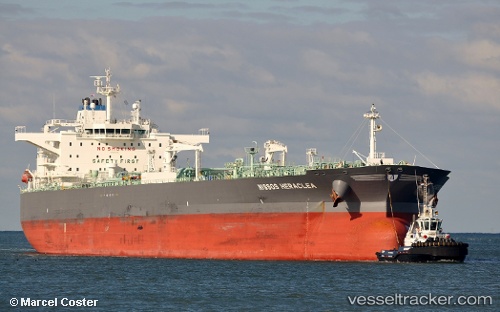
Vessel Torm Kiara IMO: 9701554, MMSI: 219029411 Oil Products Tanker
UTC, 18.31906, 118.26302, course: 219, speed: 13.4
UTC, 18.02393, 117.92664, course: 229, speed: 14.1
2026-01-31 08:01:52 UTC, 17.65664, 117.50122, course: 230, speed: 14
Live AIS position:
UTC. 157 nm NW of Bolinao),
updated 2026-01-31 08:01:52 UTC.
Find the position of the vessel Torm Kiara on the map. The latter are known coordinates and path.
marine traffic ship tracker show on live map
The current position of vessel Torm Kiara is 17.65664 lat / 117.50122 lng. Updated: 2026-01-31 08:01:52 UTCCurrently sailing under the flag of Denmark
Details:
Last coordinates of the vessel:
UTC, 18.65919, 118.65352, course: 224, speed: 14.2UTC, 18.31906, 118.26302, course: 219, speed: 13.4
UTC, 18.02393, 117.92664, course: 229, speed: 14.1
2026-01-31 08:01:52 UTC, 17.65664, 117.50122, course: 230, speed: 14