 vesseltracker.com
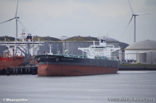
Vessel Torm Kirsten IMO: 9701566, MMSI: 219029080 Oil Products Tanker
UTC, 8.54484, 73.65055, course: 117, speed: 13.9
UTC, 8.39744, 73.92286, course: 118, speed: 14.1
2026-01-30 21:52:37 UTC, 8.16241, 74.42011, course: 118, speed: 14.4
Live AIS position:
UTC. 123 nm NE of Kulhudhuffushi Port),
updated 2026-01-30 21:52:37 UTC.
Find the position of the vessel Torm Kirsten on the map. The latter are known coordinates and path.
marine traffic ship tracker show on live map
The current position of vessel Torm Kirsten is 8.16241 lat / 74.42011 lng. Updated: 2026-01-30 21:52:37 UTCCurrently sailing under the flag of Denmark
Details:
Last coordinates of the vessel:
UTC, 8.82281, 73.16005, course: 125, speed: 14.3UTC, 8.54484, 73.65055, course: 117, speed: 13.9
UTC, 8.39744, 73.92286, course: 118, speed: 14.1
2026-01-30 21:52:37 UTC, 8.16241, 74.42011, course: 118, speed: 14.4