 vesseltracker.com
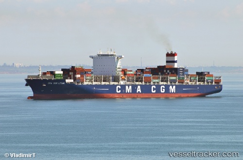
Vessel Cma Cgm Litani IMO: 9705055, MMSI: 256033000 Container Ship
UTC, -27.82784, -176.99570, course: 300, speed: 20.7
UTC, -27.39698, -177.86855, course: 302, speed: 19.5
2026-01-31 10:26:32 UTC, -27.06551, -178.49908, course: 302, speed: 21.1
Live AIS position:
UTC. 135 nm N of Raoul Island),
updated 2026-01-31 10:26:32 UTC.
Find the position of the vessel Cma Cgm Litani on the map. The latter are known coordinates and path.
marine traffic ship tracker show on live map
The current position of vessel Cma Cgm Litani is -27.06551 lat / -178.49908 lng. Updated: 2026-01-31 10:26:32 UTCDetails:
Last coordinates of the vessel:
UTC, -28.25108, -176.18410, course: 301, speed: 21.2UTC, -27.82784, -176.99570, course: 300, speed: 20.7
UTC, -27.39698, -177.86855, course: 302, speed: 19.5
2026-01-31 10:26:32 UTC, -27.06551, -178.49908, course: 302, speed: 21.1