 vesseltracker.com
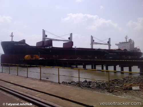
Vessel Navigare Bonitas IMO: 9705976, MMSI: 538007722 Bulk Carrier
UTC, -8.98903, -30.12546, course: 312, speed: 12.3
UTC, -8.65717, -30.54774, course: 312, speed: 12.6
2026-02-14 05:34:08 UTC, -8.51527, -30.72991, course: 313, speed: 12.8
Live AIS position:
UTC. 247 nm E of Recife),
updated 2026-02-14 05:34:08 UTC.
Find the position of the vessel Navigare Bonitas on the map. The latter are known coordinates and path.
marine traffic ship tracker show on live map
The current position of vessel Navigare Bonitas is -8.51527 lat / -30.72991 lng. Updated: 2026-02-14 05:34:08 UTCDetails:
Last coordinates of the vessel:
UTC, -9.31274, -29.73555, course: 309, speed: 12.4UTC, -8.98903, -30.12546, course: 312, speed: 12.3
UTC, -8.65717, -30.54774, course: 312, speed: 12.6
2026-02-14 05:34:08 UTC, -8.51527, -30.72991, course: 313, speed: 12.8