 vesseltracker.com
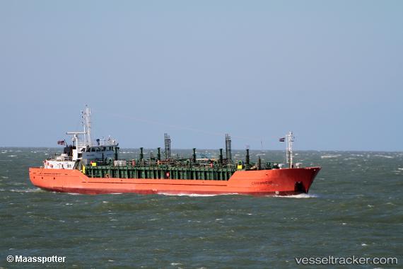
Vessel Copernicus IMO: 9706516, MMSI: 311000375 Lpg Tanker
UTC, -33.72784, 13.94507, course: 102, speed: 15.2
UTC, -33.81618, 14.69698, course: 100, speed: 15.3
2026-02-10 20:14:48 UTC, -33.92500, 15.43333, course: -1, speed: 15
Live AIS position:
UTC. 132 nm SW of Saldanha Bay),
updated 2026-02-10 20:14:48 UTC.
Find the position of the vessel Copernicus on the map. The latter are known coordinates and path.
marine traffic ship tracker show on live map
The current position of vessel Copernicus is -33.92500 lat / 15.43333 lng. Updated: 2026-02-10 20:14:48 UTCCurrently sailing under the flag of Bahamas
Details:
Last coordinates of the vessel:
UTC, -33.69848, 13.68100, course: 99, speed: 15.1UTC, -33.72784, 13.94507, course: 102, speed: 15.2
UTC, -33.81618, 14.69698, course: 100, speed: 15.3
2026-02-10 20:14:48 UTC, -33.92500, 15.43333, course: -1, speed: 15