 vesseltracker.com
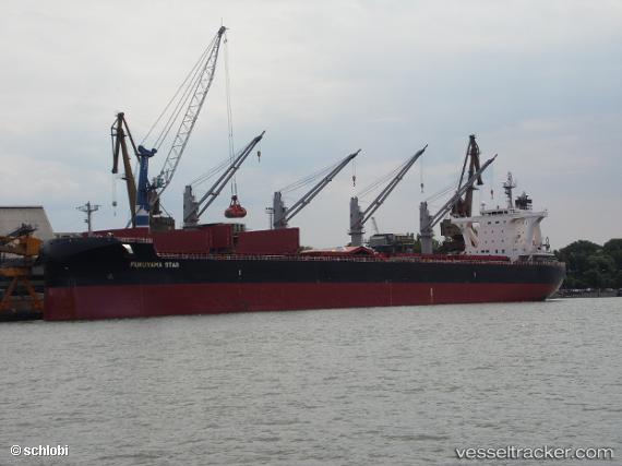
Vessel EGRET RIVER IMO: 9708978, MMSI: 353156000 Bulk Carrier
UTC, 31.68598, 121.81020, course: 289, speed: 0
UTC, 31.68598, 121.81020, course: 289, speed: 0
2026-01-17 01:26:44 UTC, 31.68598, 121.81020, course: 289, speed: 0
Live AIS position:
UTC. 11 nm SE of Qidong Pt),
updated 2026-01-17 01:26:44 UTC.
Find the position of the vessel EGRET RIVER on the map. The latter are known coordinates and path.
marine traffic ship tracker show on live map
The current position of vessel EGRET RIVER is 31.68598 lat / 121.81020 lng. Updated: 2026-01-17 01:26:44 UTCCurrently sailing under the flag of Panama
EGRET RIVER built in 2017 year
Deadweight:
64012 tDetails:
Last coordinates of the vessel:
UTC, 31.68598, 121.81020, course: 289, speed: 0UTC, 31.68598, 121.81020, course: 289, speed: 0
UTC, 31.68598, 121.81020, course: 289, speed: 0
2026-01-17 01:26:44 UTC, 31.68598, 121.81020, course: 289, speed: 0