 vesseltracker.com
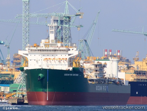
Vessel SANTORINI IMO: 9709427, MMSI: 311001096 Drilling Ship
UTC, 4.69657, -4.76050, course: 260, speed: 0
UTC, 4.69663, -4.76054, course: 260, speed: 0
2026-02-28 13:25:21 UTC, 4.69662, -4.76051, course: 260, speed: 0
Live AIS position:
UTC. 20 nm SW of Baobab Terminal),
updated 2026-02-28 13:25:21 UTC.
Find the position of the vessel SANTORINI on the map. The latter are known coordinates and path.
marine traffic ship tracker show on live map
The current position of vessel SANTORINI is 4.69662 lat / -4.76051 lng. Updated: 2026-02-28 13:25:21 UTCCurrently sailing under the flag of Bahamas
SANTORINI built in 2021 year
Deadweight:
59352 tDetails:
Last coordinates of the vessel:
UTC, 4.69660, -4.76055, course: 260, speed: 0UTC, 4.69657, -4.76050, course: 260, speed: 0
UTC, 4.69663, -4.76054, course: 260, speed: 0
2026-02-28 13:25:21 UTC, 4.69662, -4.76051, course: 260, speed: 0