 vesseltracker.com
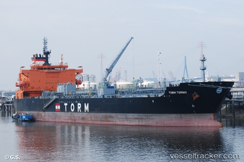
Vessel 219227000 IMO: 9712321, MMSI: 219227000
UTC, 18.34257, 147.76164, course: 161, speed: 12.6
UTC, 18.10571, 147.83932, course: 161, speed: 12.6
2026-01-30 05:29:40 UTC, 17.72488, 147.96123, course: 165, speed: 12.4
Live AIS position:
UTC. 197 nm NE of Saipan),
updated 2026-01-30 05:29:40 UTC.
Find the position of the vessel 219227000 on the map. The latter are known coordinates and path.
marine traffic ship tracker show on live map
The current position of vessel 219227000 is 17.72488 lat / 147.96123 lng. Updated: 2026-01-30 05:29:40 UTCDetails:
Last coordinates of the vessel:
UTC, 18.90786, 147.56409, course: 156, speed: 12.6UTC, 18.34257, 147.76164, course: 161, speed: 12.6
UTC, 18.10571, 147.83932, course: 161, speed: 12.6
2026-01-30 05:29:40 UTC, 17.72488, 147.96123, course: 165, speed: 12.4