 vesseltracker.com
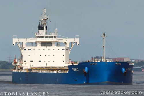
Vessel GALATEIA IMO: 9715438, MMSI: 636024228 Cargo
UTC, -1.62657, -37.88121, course: 122, speed: 11.3
UTC, -1.88999, -37.48499, course: 121, speed: 11.2
2026-02-27 12:15:23 UTC, -2.12174, -37.12935, course: 123, speed: 11.1
Live AIS position:
UTC. 126 nm NE of Fortaleza),
updated 2026-02-27 12:15:23 UTC.
Find the position of the vessel GALATEIA on the map. The latter are known coordinates and path.
marine traffic ship tracker show on live map
The current position of vessel GALATEIA is -2.12174 lat / -37.12935 lng. Updated: 2026-02-27 12:15:23 UTCCurrently sailing under the flag of Liberia
Details:
Last coordinates of the vessel:
UTC, -1.48542, -38.09390, course: 121, speed: 11.2UTC, -1.62657, -37.88121, course: 122, speed: 11.3
UTC, -1.88999, -37.48499, course: 121, speed: 11.2
2026-02-27 12:15:23 UTC, -2.12174, -37.12935, course: 123, speed: 11.1