 vesseltracker.com
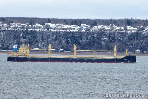
Vessel Tanja IMO: 9717527, MMSI: 636092598 Bulk Carrier
UTC, 37.59833, -54.28667, course: -1, speed: 8
UTC, 37.85500, -54.56833, course: -1, speed: 8
2026-01-30 15:50:43 UTC, 38.07569, -54.82039, course: 319, speed: 8
Live AIS position:
UTC. 115 nm SW of Jonesville),
updated 2026-01-30 15:50:43 UTC.
Find the position of the vessel Tanja on the map. The latter are known coordinates and path.
marine traffic ship tracker show on live map
The current position of vessel Tanja is 38.07569 lat / -54.82039 lng. Updated: 2026-01-30 15:50:43 UTCDetails:
Last coordinates of the vessel:
UTC, 37.43667, -54.13167, course: -1, speed: 10UTC, 37.59833, -54.28667, course: -1, speed: 8
UTC, 37.85500, -54.56833, course: -1, speed: 8
2026-01-30 15:50:43 UTC, 38.07569, -54.82039, course: 319, speed: 8