 vesseltracker.com
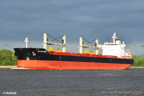
Vessel Princess Margo IMO: 9720017, MMSI: 538008208 Bulk Carrier
UTC, 31.53012, 26.61776, course: 324, speed: 0.3
UTC, 31.52989, 26.61703, course: 351, speed: 0.2
2026-02-07 13:40:29 UTC, 31.52989, 26.61703, course: 351, speed: 0.2
Live AIS position:
UTC. 33 nm W of Matruh),
updated 2026-02-07 13:40:29 UTC.
Find the position of the vessel Princess Margo on the map. The latter are known coordinates and path.
marine traffic ship tracker show on live map
The current position of vessel Princess Margo is 31.52989 lat / 26.61703 lng. Updated: 2026-02-07 13:40:29 UTCDetails:
Last coordinates of the vessel:
UTC, 31.52991, 26.61758, course: 336, speed: 0.1UTC, 31.53012, 26.61776, course: 324, speed: 0.3
UTC, 31.52989, 26.61703, course: 351, speed: 0.2
2026-02-07 13:40:29 UTC, 31.52989, 26.61703, course: 351, speed: 0.2