 vesseltracker.com
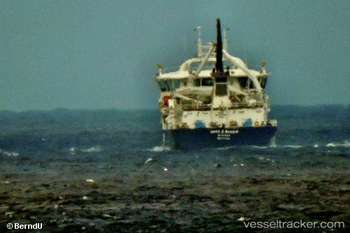
Vessel Hans A Bakka IMO: 9722821, MMSI: 231120000 Live Fish Carrier
UTC, 62.21373, -6.62788, course: 345, speed: 9.9
UTC, 62.21373, -6.62788, course: 345, speed: 9.9
2026-02-12 22:43:50 UTC, 62.37072, -6.62186, course: 291, speed: 9.1
Live AIS position:
UTC. Near Klaksvig),
updated 2026-02-12 22:43:50 UTC.
Find the position of the vessel Hans A Bakka on the map. The latter are known coordinates and path.
marine traffic ship tracker show on live map
The current position of vessel Hans A Bakka is 62.37072 lat / -6.62186 lng. Updated: 2026-02-12 22:43:50 UTCCurrently sailing under the flag of Faroe Is
Details:
Last coordinates of the vessel:
UTC, 62.21373, -6.62788, course: 345, speed: 9.9UTC, 62.21373, -6.62788, course: 345, speed: 9.9
UTC, 62.21373, -6.62788, course: 345, speed: 9.9
2026-02-12 22:43:50 UTC, 62.37072, -6.62186, course: 291, speed: 9.1