 vesseltracker.com
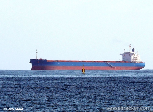
Vessel Ada IMO: 9727156, MMSI: 249302000 Bulk Carrier
UTC, 36.08977, 20.49343, course: 271, speed: 12.5
UTC, 36.09984, 19.88767, course: 271, speed: 12.4
2026-02-25 09:20:45 UTC, 36.11500, 19.43500, course: -1, speed: 11
Live AIS position:
UTC. 118 nm W of Methoni),
updated 2026-02-25 09:20:45 UTC.
Find the position of the vessel Ada on the map. The latter are known coordinates and path.
marine traffic ship tracker show on live map
The current position of vessel Ada is 36.11500 lat / 19.43500 lng. Updated: 2026-02-25 09:20:45 UTCDetails:
Last coordinates of the vessel:
UTC, 36.06667, 20.94333, course: -1, speed: 12UTC, 36.08977, 20.49343, course: 271, speed: 12.5
UTC, 36.09984, 19.88767, course: 271, speed: 12.4
2026-02-25 09:20:45 UTC, 36.11500, 19.43500, course: -1, speed: 11