 vesseltracker.com
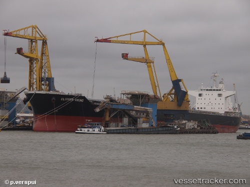
Vessel PARAGON IMO: 9727326, MMSI: 538009701 Bulk Carrier
UTC, 31.50711, 130.52875, course: 285, speed: 0
UTC, 31.50711, 130.52878, course: 285, speed: 0
2026-01-28 04:28:38 UTC, 31.42236, 130.62254, course: 145, speed: 11.8
Live AIS position:
UTC. Near Kiire),
updated 2026-01-28 04:28:38 UTC.
Find the position of the vessel PARAGON on the map. The latter are known coordinates and path.
marine traffic ship tracker show on live map
The current position of vessel PARAGON is 31.42236 lat / 130.62254 lng. Updated: 2026-01-28 04:28:38 UTCCurrently sailing under the flag of Marshall Islands
PARAGON built in 2015 year
Deadweight:
77111 tDetails:
Last coordinates of the vessel:
UTC, 31.50711, 130.52878, course: 284, speed: 0UTC, 31.50711, 130.52875, course: 285, speed: 0
UTC, 31.50711, 130.52878, course: 285, speed: 0
2026-01-28 04:28:38 UTC, 31.42236, 130.62254, course: 145, speed: 11.8