 vesseltracker.com
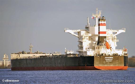
Vessel Johanna IMO: 9730397, MMSI: 636017114 Bulk Carrier
UTC, 40.54351, 27.17070, course: -1, speed: 3.4
UTC, 40.49545, 27.07981, course: -1, speed: 3.7
2026-02-26 04:24:43 UTC, 40.47199, 27.04805, course: -1, speed: 0.4
Live AIS position:
UTC. Near Sarköy),
updated 2026-02-26 04:24:43 UTC.
Find the position of the vessel Johanna on the map. The latter are known coordinates and path.
marine traffic ship tracker show on live map
The current position of vessel Johanna is 40.47199 lat / 27.04805 lng. Updated: 2026-02-26 04:24:43 UTCDetails:
Last coordinates of the vessel:
UTC, 40.65321, 27.32634, course: -1, speed: 4.5UTC, 40.54351, 27.17070, course: -1, speed: 3.4
UTC, 40.49545, 27.07981, course: -1, speed: 3.7
2026-02-26 04:24:43 UTC, 40.47199, 27.04805, course: -1, speed: 0.4