 vesseltracker.com
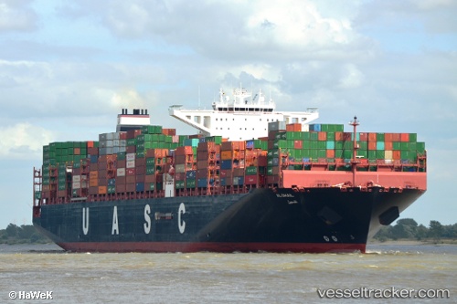
Vessel AL DHAIL IMO: 9732307, MMSI: 636093166 Cargo A
UTC, 34.08092, 25.60383, course: 112, speed: 17.1
UTC, 33.84652, 26.28014, course: 114, speed: 17.6
2026-02-24 09:45:52 UTC, 33.67640, 26.75740, course: 116, speed: 17.6
Live AIS position:
UTC. 39 nm SE of Polychnitos Lesvou),
updated 2026-02-24 09:45:52 UTC.
Find the position of the vessel AL DHAIL on the map. The latter are known coordinates and path.
marine traffic ship tracker show on live map
The current position of vessel AL DHAIL is 33.67640 lat / 26.75740 lng. Updated: 2026-02-24 09:45:52 UTCCurrently sailing under the flag of Liberia
Details:
Last coordinates of the vessel:
UTC, 34.49590, 24.90627, course: 80, speed: 9UTC, 34.08092, 25.60383, course: 112, speed: 17.1
UTC, 33.84652, 26.28014, course: 114, speed: 17.6
2026-02-24 09:45:52 UTC, 33.67640, 26.75740, course: 116, speed: 17.6