 vesseltracker.com
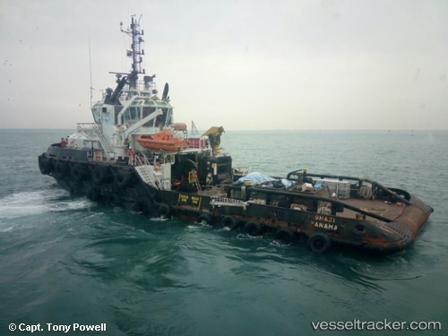
Vessel Ghazi IMO: 9734070, MMSI: 374641000 Tug
UTC, 24.74298, 53.50145, course: 151, speed: 4.9
UTC, 24.74045, 53.50198, course: 214, speed: 0.3
2026-02-10 13:38:40 UTC, 24.74695, 53.50278, course: 105, speed: 7.8
Live AIS position:
UTC. 18 nm N of Mubarraz Island),
updated 2026-02-10 13:38:40 UTC.
Find the position of the vessel Ghazi on the map. The latter are known coordinates and path.
marine traffic ship tracker show on live map
The current position of vessel Ghazi is 24.74695 lat / 53.50278 lng. Updated: 2026-02-10 13:38:40 UTCDetails:
Last coordinates of the vessel:
UTC, 24.74050, 53.50532, course: 318, speed: 1.9UTC, 24.74298, 53.50145, course: 151, speed: 4.9
UTC, 24.74045, 53.50198, course: 214, speed: 0.3
2026-02-10 13:38:40 UTC, 24.74695, 53.50278, course: 105, speed: 7.8